All Posts
- Satellite Imagery 11 Mar, 2026
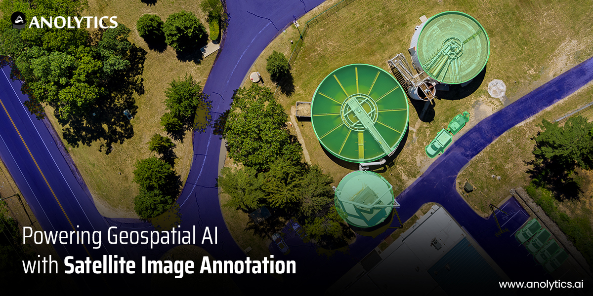
Powering Geospatial AI with Satellite Image Annotation
The demand for satellite data services is increasing across multiple use cases, yet our ability to harness its potential
- Satellite Imagery 28 Mar, 2022
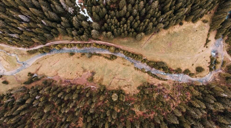
Most Top Problems Facing Machine Learning in The Forest Industry?
In the forest business, satellite imagery is used with GIS data for geographic mapping and analytics. Still, as satellit
- Satellite Imagery 13 Jul, 2020
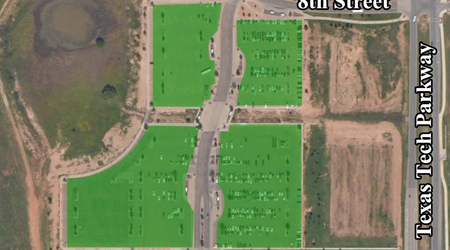
AI Applications for Satellite Imagery: How Satellite Imagery Datasets Are Used
Satellite images can capture the wide-angle viewing area from the distant height making it easier for artificial intelli